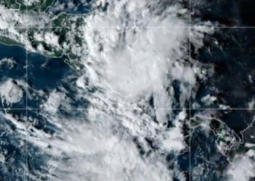
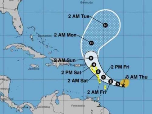
In a press briefing issued by that entity, at 12:00 local time, the central region of this meteorological phenomenon was estimated at 16.5 degrees north latitude and 77.7 degrees west longitude, a position that places it about 195 kilometers southwest of Kingston, Jamaica.
This tropical storm has maximum sustained winds of 85 kilometers per hour, with higher gusts, and a central pressure of 1004 hectoPascals, while moving towards the west, at a rate of 30 kilometers per hour.
Experts forecast that in the next 12 to 24 hours it will maintain a trajectory towards the west, with a similar speed movement and will gain somewhat more in organization and intensity.
In this way, the storm will move over the southern portion of the Gulf of Honduras tomorrow, with the possibility of hitting Belize on Thursday, added the warning issued by the Cuban institute.
Meanwhile, the US Hurricane Center adds that there is a tropical storm watch in force for northern Honduras, the island of Roatan and the Bay Islands of Honduras, and Belize.
In addition, a tropical storm warning may be required for regions of Guatemala and the southern Yucatan Peninsula this afternoon, the US institution added in a newsletter on Tuesday.
Reports from a reconnaissance plane from the US country’s Air Force Reserve indicate that further strengthening is forecasted over the next 48 hours, and Nana could turn into a hurricane just before making landfall on Thursday.
rly/omr/mem/rbp


